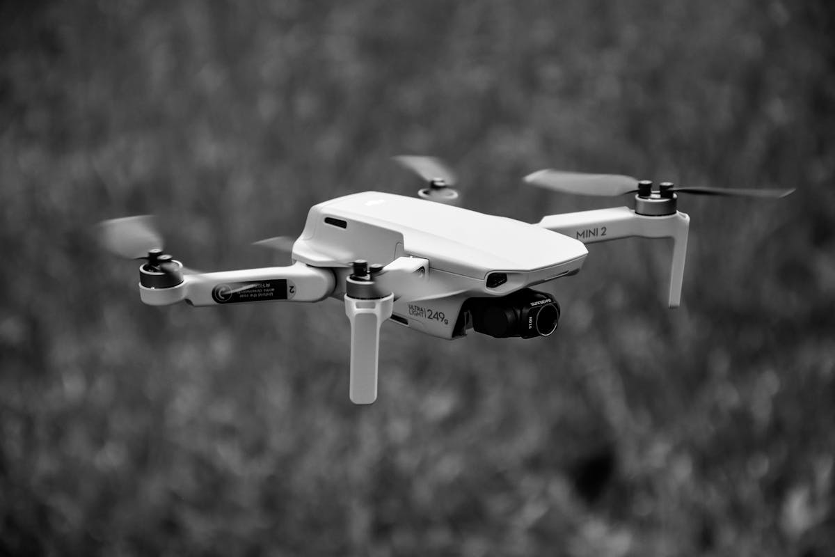
Aerial imaging has shifted from specialist practice to a standard commercial service across construction, real estate, tourism, agriculture, and media production. The rapid adoption of camera drones has enabled businesses to achieve operational efficiencies by providing high-resolution visuals without the expense of helicopters, cranes, or elevated platforms. For organisations operating in competitive markets, integrating aerial capture into broader visual strategy is no longer experimental; it is a calculated investment in perspective, scale, and measurable differentiation.
While unmanned systems deliver reach and mobility, ground-based imaging equipment continues to anchor professional workflows. Established platforms, including DSLR cameras, remain central to studio, event, architectural, and product photography, offering interchangeable lenses, manual control precision, and dependable image sensors suited to commercial deliverables. For many operators, the decision is not aerial versus terrestrial equipment. It is about building a complementary toolkit that aligns with project scope, compliance requirements, and post-production expectations.
Commercial Applications and Sector Demand
In property marketing, aerial capture provides contextual scale. Residential estates, mixed-use developments, and industrial precincts benefit from overhead mapping that clarifies boundaries, access roads, surrounding amenities, and terrain features. This expanded visual narrative strengthens listing presentations and investor memorandums. When integrated with interior and ground-level imagery, marketing collateral becomes more cohesive, supporting both digital campaigns and print materials.
The construction and infrastructure sectors rely on overhead imagery for progress documentation and site inspections. Regular flyovers allow project managers to monitor staging, identify bottlenecks, and maintain visual records for stakeholders. High-resolution imagery assists with reporting and can be incorporated into tender submissions, safety documentation, and compliance records. For asset managers, this approach reduces the need for repeated physical inspections while maintaining oversight across large or difficult-to-access sites.
Agriculture and environmental monitoring represent another growth segment. Broadacre farms, vineyards, and regional landholdings utilise aerial mapping to assess irrigation coverage, crop health, and land management patterns. The ability to survey extensive terrain in short timeframes improves planning accuracy and operational response.
Integration Within Professional Imaging Workflows
For commercial photographers and production teams, aerial units extend creative and technical capabilities. They capture establishing shots, wide-angle perspectives, and cinematic transitions that would otherwise require significant logistical coordination. The integration process must remain structured. Image quality consistency, colour grading alignment, and file management protocols should mirror ground-based capture standards to maintain brand coherence across campaigns.
Professional operators also consider payload capacity, stabilisation systems, and sensor specifications when aligning aerial equipment with existing workflows. Matching dynamic range and resolution across platforms simplifies editing and ensures uniform output across deliverables. This level of integration is essential when servicing corporate clients who expect consistent brand representation across digital, broadcast, and print channels.

Compliance and Operational Standards in Australia
Operating aerial systems within Australia requires adherence to aviation regulations. Commercial operators must understand licensing thresholds, airspace restrictions, and operational limitations relating to populated areas and controlled zones. Compliance is not an administrative formality; it underpins insurance validity and contractual eligibility.
Businesses engaging aerial service providers should verify operator accreditation, public liability coverage, and documented risk assessments. Clear operating procedures reduce exposure to project delays and legal complications. In tender environments, evidence of regulatory compliance often influences supplier selection.
Risk Management and Insurance Considerations
Risk management extends beyond aviation compliance. Environmental conditions, site hazards, and privacy considerations must be addressed during project planning. Wind speed, electromagnetic interference, and restricted airspace can affect scheduling and performance. Contingency planning should form part of service agreements, particularly in sectors such as construction or property marketing, where deadlines are commercially sensitive.
Insurance policies must reflect equipment value and operational scope. For operators managing both aerial and ground-based capture systems, consolidated coverage ensures asset protection while simplifying administrative oversight.
Data Management and Post-Production Strategy
High-resolution imaging generates significant data volumes. Efficient file handling, storage redundancy, and backup systems are integral to commercial viability. Cloud-based asset management platforms streamline collaboration between photographers, editors, marketing teams, and external stakeholders.
Post-production workflows should be clearly defined. Aerial footage often requires colour balancing to align with ground-level imagery. Editing timelines must accommodate stabilisation adjustments, exposure correction, and compositing where required. Structured processes prevent delays and protect client relationships.
Commercial Viability and Return on Investment
For businesses evaluating capital investment in aerial systems, cost analysis should include hardware acquisition, licensing, insurance, maintenance, and software. Revenue potential depends on sector demand, pricing strategy, and operational capacity. Some organisations integrate aerial capture internally to reduce outsourcing costs. Others maintain partnerships with specialised operators to preserve flexibility.
Return on investment is not solely financial. Enhanced visual presentation strengthens brand positioning and client acquisition. In competitive markets such as real estate and tourism, elevated imagery can influence engagement metrics, listing performance, and campaign reach.
Retail and E-commerce Positioning
From a retail perspective, product segmentation plays a critical role. Clear categorisation between aerial platforms, accessories, batteries, stabilisation components, and imaging bodies supports intuitive navigation and search visibility. Structured product descriptions that highlight sensor size, flight duration, payload limits, and compatibility assist informed purchasing decisions.
For e-commerce operators, technical clarity improves conversion rates. Buyers assessing professional imaging equipment require detailed specifications rather than general marketing language. Inventory management systems should distinguish between entry-level and commercial-grade units to align with target audiences.
Training and Skill Development
Technical proficiency determines output quality. Operators must understand flight planning software, exposure control, framing, and situational awareness. Structured training reduces error rates and supports consistent commercial results, for organisations incorporating aerial capture into service offerings, documented operating procedures ensure repeatability across team members.
Ground-based imaging expertise remains equally important. Understanding lens selection, lighting control, and composition enhances overall project quality. Combined skill sets expand service capabilities without diluting standards.
Future Market Direction
The Australian imaging market continues to mature. Clients expect integrated visual solutions that combine aerial perspective with refined terrestrial imagery. Technological advancements will improve battery life, sensor performance, and autonomous navigation. Nevertheless, commercial success will continue to rely on operational discipline rather than novelty.
Businesses that approach imaging as a structured service rather than isolated equipment ownership position themselves more effectively within competitive sectors. Strategic alignment between equipment capability, regulatory compliance, data management, and marketing objectives ensures sustained relevance.
Conclusion
Aerial systems and traditional ground-based equipment serve distinct yet complementary roles within professional imaging. Organisations that integrate both within a disciplined framework strengthen project delivery, reduce operational risk, and elevate commercial presentation. In a performance-driven environment, structured capability and regulatory awareness matter more than equipment trends. Businesses seeking to refine their visual output should assess integration strategy, compliance alignment, and market positioning before expanding their imaging portfolio.


